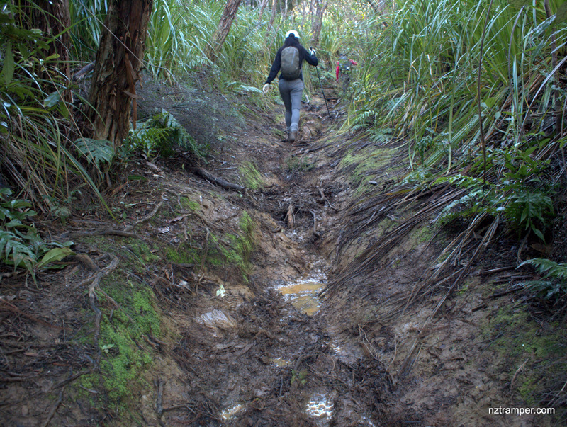
Trails: End of Whatipu Road car park – Gibbons Track – Walker Ridge Track – Odlin Timber Track – Zion Ridge Track – Zion Hill Track – Karekare – Beach – Whatipu.
Car Park: Yes. End of Whatipu Road, Huia. About 55 minutes drive from Auckland city centre.
Public Toilet: Yes
Weather: Check Weather before you go!
For better map display, click the buttons (Full Screen, Hide/Show Photos and Back to Center) in the top right corner of the map to study the tracks we took or any other tracks. For more information about Whatipu, you may go to Whatipu.
Max elevation: 391 m
Min elevation: 1 m
Total climbing: 1198 m
Total descent: -1199 m
Average speed: 5.31 km/h
Total time: 05:43:22
Total flat distance: 23.6 km, Climbing distance: 8.5 km, Descent distance: 8.3 km, Flat distance: 6.8 km, Maximum difference: 390 m, Final balance: 0 m
Difficulty Rating: 3.96 – M+
The “Total Time” is my time in May which includes morning tea and lunch time and breaks. That day was fine and the track was good. If you slow down to average 3.0 km/h plus 90 min stop then the total time will be around 9 hrs.
Photos on the map. Click opened photo to close.


Click photos below or go to Gallery to enjoy all photos and videos.
Gibbons Track to Walker Ridge Track to Odlin Timber Track to Zion Ridge Track to Karekare to Whatipu