Saturday Trails: Limeworks Loop Road Kaniwhaniwha car park – Nikau Walk – Tahuanui Track – Kaniwhaniwha Stream Campsite – Tahuanui Track – Junction of Tahuanui Track and Tirohanga Track – Tirohanga Track to Pirongia Summit then to Pahautea Hut.
Caution: Tahuanui Track was quite muddy and steep when close to top. Always prepared that the hut could be full (first come, first served) and the weather could be very cold even in summer!
Car Park: Yes. Kaniwhaniwha Reserve car park. It’s about 140km 110 minutes drive from Auckland city centre.
Public Toilet: Yes
Weather: Check Weather before you go!
For better map display, click the buttons (Full Screen, Hide/Show Photos and Back to Center) in the top right corner of the map to study the tracks we took or any other tracks. For more information about Pirongia Forest Park you may go to Pirongia Forest Park
Max elevation: 961 m
Min elevation: 77 m
Total climbing: 1078 m
Total descent: -245 m
Average speed: 3.79 km/h
Total time: 04:02:54
Total flat distance: 10.6 km, Climbing distance: 7 km, Descent distance: 1.4 km, Flat distance: 2.3 km, Maximum difference: 889 m, Final balance: 832.5 m.
Difficulty Rating: 3.04 – M
The “Total Time” is my time in March which includes lunch time and breaks. That day was fine and the track was good. If you slow down to average 3 km/h plus 60 min stop then the total time will be around 5 hrs.
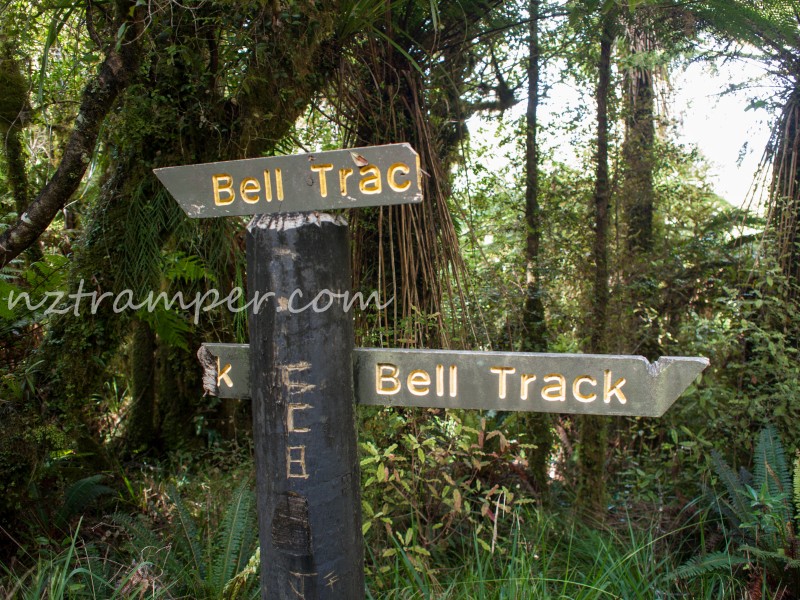
Sunday Trails: Pahautea Hut – Bell Track – The Cone – Central Clearing Campsite – Junction to (just over the swing bridge) NZ native tallest Kahikatea Tree 66.5m – Kaniwhaniwha Caves – Junction of Bell Track and Nikau Loop Walk – Nikau Walk – car park.
Caution: Bell Track was very boggy and steep before and after The Cone. Experienced tramper only.
Max elevation: 959 m
Min elevation: 88 m
Total climbing: 441 m
Total descent: -1262 m
Average speed: 3.63 km/h
Total time: 07:10:39
Total flat distance: 16.9 km, Climbing distance: 3.4 km, Descent distance: 9 km, Flat distance: 4.8 km, Maximum difference: 872 m, Final balance: -821 m.
Difficulty Rating: 3.32+ – M+, H
The “Total Time” is my time in March which includes lunch time and breaks. That day was drizzle then fine. Track was tough. If you slow down to average 2.5 km/h plus 90 min stop then the total time will be around 8:30 hrs. The sign post says 8 – 12 hrs.
Photos on the map. Click opened photo to close.


Click photos below or go to Gallery to enjoy all photos and videos.
Nikau Walk to Tahuanui Track to Tirohanga Track to Pahautea Hut to Bell Track loop in Pirongia