Trails: Karekare Main car park – Pohutukawa Glade Walk – Zion Hill Track – Zion Ridge Track – Buck Taylor Track – Zion Hill Track – Pohutukawa Glade Walk – Lone Kauri Road – Taraire Track – Karekare Falls – Taraire Track – La Trobe Track – Karekare Road – car park.
Car Park: Karekare Main car park. Set “2 Karekare Rd, Karekare” in your GPS. It’s bout 1 hour drive from Auckland city center.
Public Toilet: Yes.
Weather: Check Waitakere Weather before you go.
For better map display, click the buttons (Full Screen, Hide/Show Photos and Back to Center) in the top right corner of the map to study the tracks we took or any other tracks.
Max elevation: 300 m
Min elevation: 15 m
Total climbing: 878 m
Total descent: -882 m
Average speed: 3.67 km/h
Total time: 04:12:28
Difficulty Rating: 2.31 – E+
The “Total Time” is my time in September which includes morning tea time and lunch time. That day was fine and the track was good. If you slow down to average 2.8 km/h plus 60 min stop then the total time will be around 5 hrs.
Photos on the map. Click opened photo to close.


Click photos below or go to Gallery to enjoy all photos and videos.
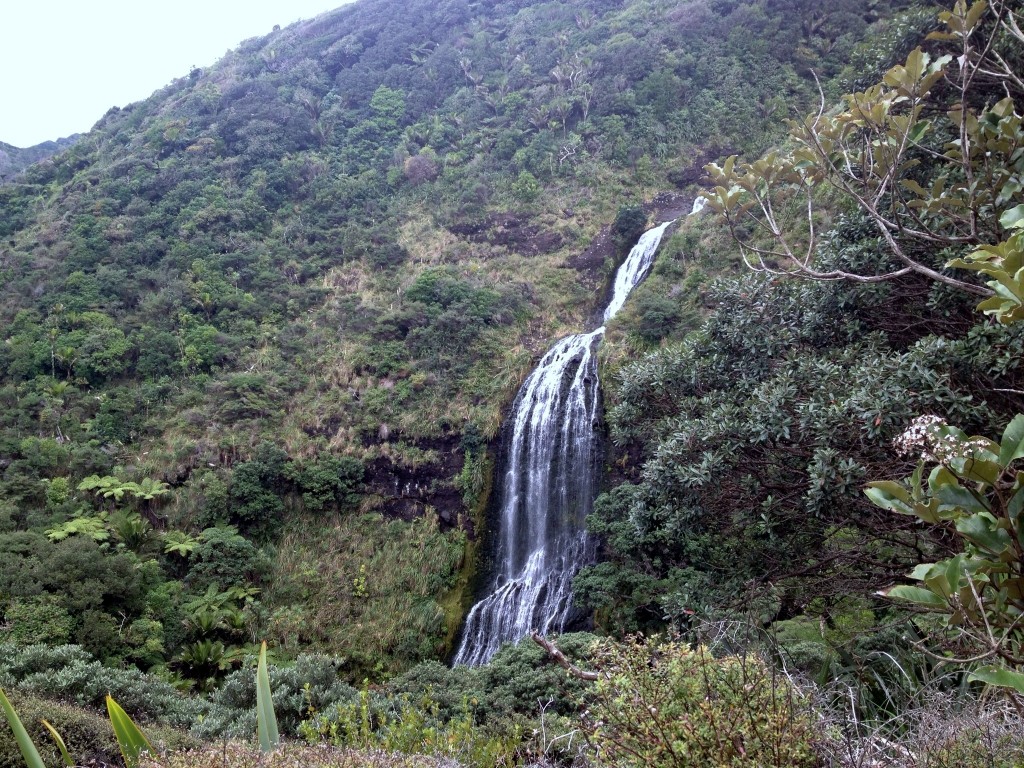
Zion Hill Track to Zion Ridge Track to Buck Taylor Track and Karekare Falls