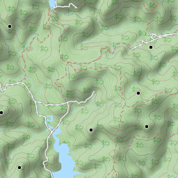
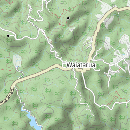
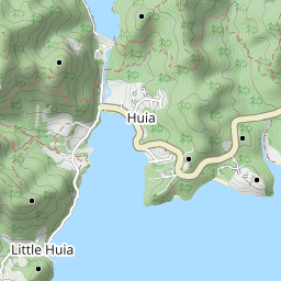
Trails: Arataki Visitor Centre – Slip Track – Pipeline Track – Lower Nihotupu Dam Road – Parau Track – Kakamatua Ridge Track – Farley Track – Panto Track – Parau Track – Lower Nihotupu Dam Road – Pipeline Track – Slip Track – Arataki Centre.
After my 14th 5km Parkrun, we walked this loop on the purpose of greeting some crazy MMM trail runners. Luckily we met Dan (1st) and Tom (2nd) on Parau Track (about 13 hrs). Hope I can join them next year!
Car Park: Yes. Arataki Visitor Centre car park, about 25 km 30 minutes drive.
Public Toilet: Yes.
Weather: Check Weather before you go!
For better map display, click the buttons (Full Screen, Hide/Show Photos and Back to Center) in the top right corner of the map to study the tracks we took or any other tracks. More information of Sanctuary Mountain Maungatautari.


Max elevation: 259 m
Min elevation: 31 m
Total climbing: 1084 m
Total descent: -1081 m
Average speed: 4.43 km/h
Total time: 06:47:56
Total flat distance: 21.8 km, Climbing distance: 8.5 km, Descent distance: 8.4 km, Flat distance: 5.1 km, Maximum difference: 228 m, Final balance: 0 m.
Difficulty Rating: 3.51 – M+
The “Total Time” is my time in July which includes lunch time and breaks. That day was clear but very cold and tracks were good in general but some sections were very muddy. If you slow down to average 3.5 km/h plus 90 min stop then the total time will be around 7:45 hrs.
Photos on the map. Click opened photo to close.
Click photos below or go to Gallery to enjoy all photos and videos.
