Trails: Pirongia West Road car park – Hihikiwi Track – Lookout Point – Hihikiwi Summit – Pahautea Hut – Bell Track – The Cone – Return back the same way to car park.
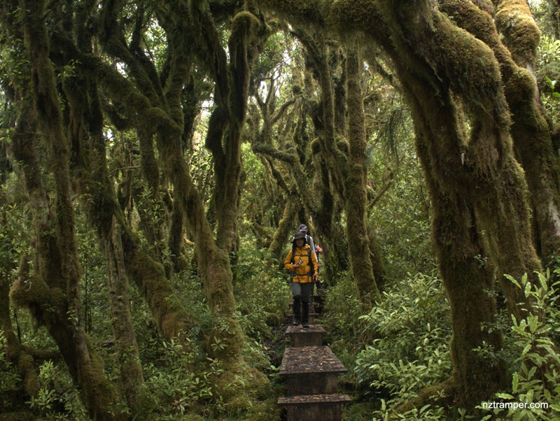
Note: This is a new tramping track which has not been put on some maps yet so far. Experienced trampers only! Not recommended in bad weather as the tracks are very boggy. Boardwalk is being built from the hut to The Cone which will significantly reduce the time. Currently 1.5 km takes 1 hr one way.
Car Park: Yes, Pirongia Forest Park.
Public Toilet: No.
Weather: Check Weather before you go!
For better map display, click the buttons (Full Screen, Hide/Show Photos and Back to Center) in the top right corner of the map to study the tracks we took or any other tracks.
Max elevation: 955 m
Min elevation: 525 m
Total climbing: 1260 m
Total descent: -1254 m
Average speed: 3.20 km/h
Total time: 05:41:06
Total flat distance: 13.4 km, Climbing distance: 6.4 km, Descent distance: 6.1 km, Flat distance: 1.3 km, Maximum difference: 430 m, Final balance: 0 m
Difficulty Rating: 3.67 – M+
The “Total Time” is my time in Jan which includes morning tea, lunch time and breaks. That day was cloudy and drizzle. The tracks were very boggy! If you slow down to average 2.5 km/h plus 90 min stop then the total time will be around 7 hrs.
Photos on the map. Click opened photo to close.


Click photos below or go to Gallery to enjoy all photos and videos.
Hihikiwi Track to Pahautea Hut to Bell Track to The Cone in Pirongia Forest Park
Hi, Derek:
How big the carpark? How many car can be parked?
Thanks
Thanks! 感觉这是很久以前的事了LOL. 不清楚现在的状况,有没有维护和新建,当时横七竖八的可以停6,7辆。