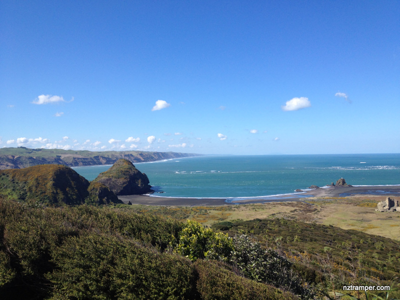
Trails: End of Whatipu Road car park – Gibbons Track – Muir Track – Pararaha Valley Track – Wetland – Beach to Whatipu – Paratutai Island and coast Track (Signal House) – car park
Car Park: Yes. Set “Whatipu Lodge & Campground” in your GPS. It’s very end of Whatipu Road, Huia. About 55 minutes drive from Auckland city center.
Public Toilet: Yes
Weather: Check Weather before you go!
For better map display, click the buttons (Full Screen, Hide/Show Photos and Back to Center) in the top right corner of the map to study the tracks we took or any other tracks. For more information about Whatipu, you may go to Whatipu.
Max elevation: 295 m
Min elevation: 8 m
Total climbing: 698 m
Total descent: -694 m
Average speed: 4.25 km/h
Total time: 04:55:42
Difficulty Rating: 2.65 – E+
The “Total Time” is my time in September which includes morning tea time and lunch time. That day was fine and the track was good. If you slow down to average 3.0 km/h plus 60 min stop then the total time will be around 6:30 hrs.
Photos on the map. Click opened photo to close.


Click photos below or go to Gallery to enjoy all photos and videos.
Gibbons Track to Muir Track to Pararaha Valley Track to Whatipu beach loop
Great track but the overhanging trunk at the beginning needs a caution sign (in neon lights). My poor Mum sconned herself and fell back into me. With it being stairs you tend to look down, so it’s easily missed. We otherwise enjoyed the new track, thank you.