Another once-a-week-Saturday-hiking. Don’t have many choices in Auckland at this moment. So, we come again Dome Forest!
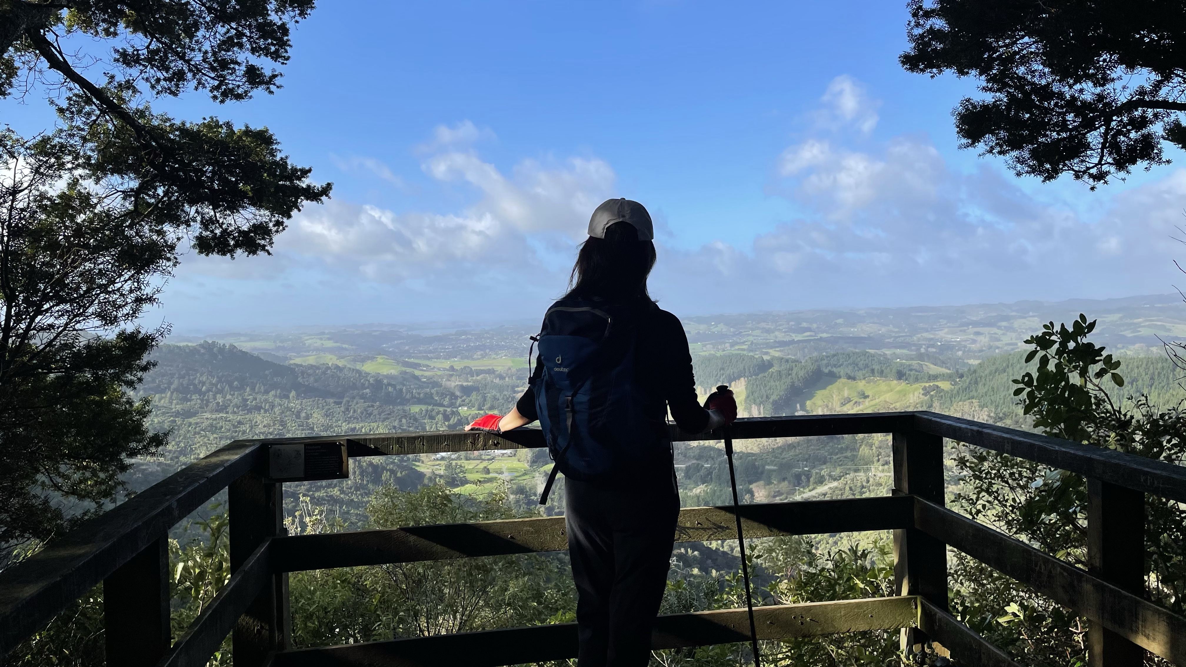 Another once-a-week-Saturday-hiking. Don’t have many choices in Auckland at this moment. So, we come again Dome Forest!
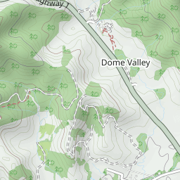
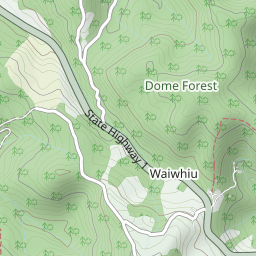
Great news! The Dome Café is back open again!


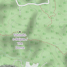

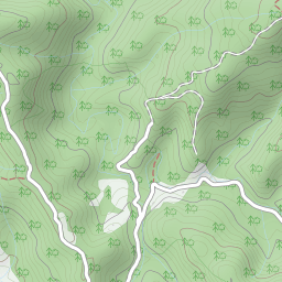
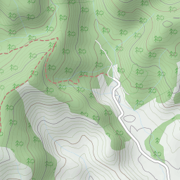
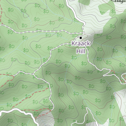
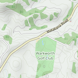
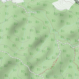
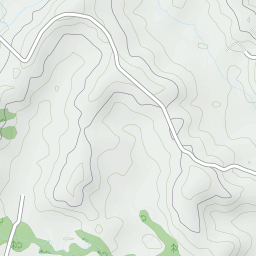
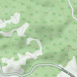
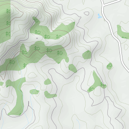
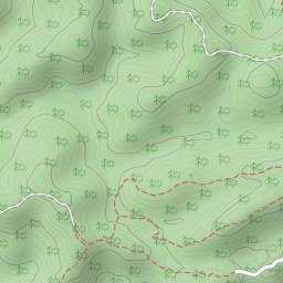
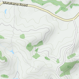

Leaflet | Data © OpenStreetMap contributors, Maps © Thunderforest contributors, CC-BY-SA, Imagery © Mapbox
Total distance: 15.87 km
Max elevation: 331 m
Min elevation: 129 m
Total climbing: 1221 m
Total descent: -1224 m
Average speed: 4.67 km/h
Total time: 04:15:39
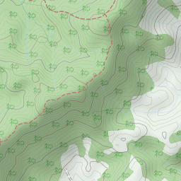
Max elevation: 331 m
Min elevation: 129 m
Total climbing: 1221 m
Total descent: -1224 m
Average speed: 4.67 km/h
Total time: 04:15:39