Running Trails: Off Huia Road Parau Track access car park – Parau Track – Panto Track – Farley Track – Kakamatua Ridge Track – Parau Tack – Huia Dam Access Road – Huia Road – Barn Paddock Campground – Karamatura Campground – Karamatura Track – Tom Thumb Track – Tom Thumb Bypass Track – Twin Peaks Track – Huia Dam Access Road – Parau Tack – car park.
Car Park: Yes. It’s about 23 km 35 minutes drive from Auckland city centre.
Public Toilet: No.
Weather: Check Weather before you go!
For better map display, click the buttons (Full Screen, Hide/Show Photos and Back to Center) in the top right corner of the map to study the tracks we took or any other tracks. For more information about these hiking tracks you may go to Waitakere Ranges.
Max elevation: 259 m
Min elevation: 8 m
Total climbing: 1337 m
Total descent: -1335 m
Average speed: 6.16 km/h
Total time: 04:36:22
Total flat distance: 22.1 km, Climbing distance: 9.2 km, Descent distance: 9.6 km, Flat distance: 3.6 km, Maximum difference: 250 m, Final balance: 0 m. Elevation corrected by ST3.
Difficulty Rating: 4.22 H
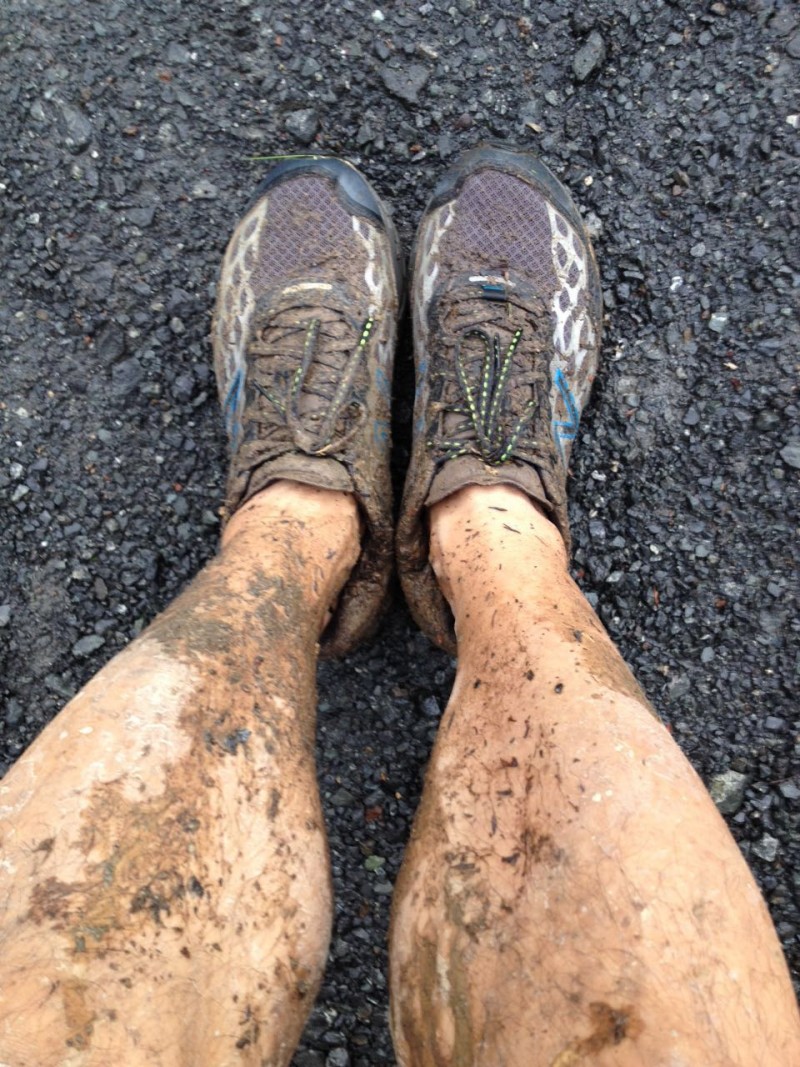
The “Total Time” is my time in May which includes breaks and lunch time. That day was wet, blowing, rain and heavy rain. Tracks were terrible muddy and slippery!
Trail running – Waitakere Ranges 22km