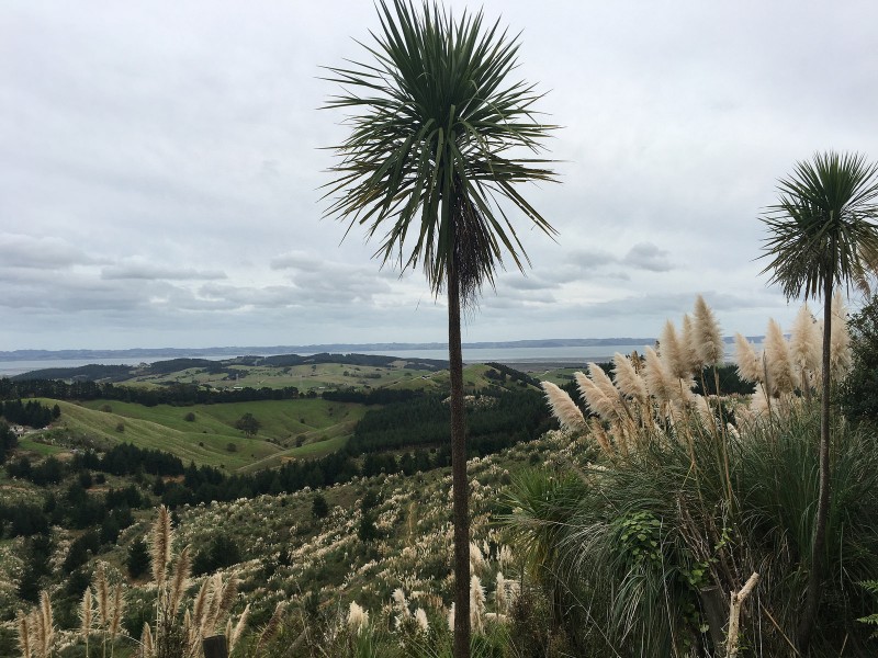
Trails: Off SH 16 track entrance – Track on private farmland – Atuanui Scenic Reserve bush line – Mt Auckland summit (views of Kaipara Harbour and Hoteo River Estuary) – track down to Kaipara Hills Rd entrance – return back the same way.
Car Park: Yes. Mt Auckland Walkway on SH 16. The other track entrance is about 3 km down Kaipara Hills Rd off Kaipara Coast Highway (SH 16).
Public Toilet: Yes, both entrances.
Weather: Check Weather before you go!
For better map display, click the buttons (Full Screen, Hide/Show Photos and Back to Center) in the top right corner of the map to study the tracks we took or any other tracks. More information of Sanctuary Mountain Maungatautari.
Max elevation: 293 m
Min elevation: 19 m
Total climbing: 668 m
Total descent: -667 m
Average speed: 4.60 km/h
Total time: 03:17:06
Total flat distance: 11.8 km, Climbing distance: 5 km, Descent distance: 5 km, Flat distance: 1.9 km, Maximum difference: 275 m, Final balance: 0 m.
Difficulty Rating: 2.13 – E+
The “Total Time” is my time in April which includes lunch time and breaks. That day was cloudy and tracks were good. If you slow down to average 3.5 km/h plus 60 min stop then the total time will be around 4.5 hrs.
Photos on the map. Click opened photo to close.
Click photos below or go to Gallery to enjoy all photos and videos.


Hi there
I’d like to take a school trip out to Mt Auckland for about 130 students. We would like to leave and return from Kaipara Hills Rd. Is there enough parking for buses on that side? Would we be able to drive nearer to the airfield?
Thanks
Hi there, I am not really sure if the parking is big enough for bus, but if you can open the gate and enter in, there is a big place I think big enough for bus to turn around and also a toilet there. BETTER to ask city council to confirm it!