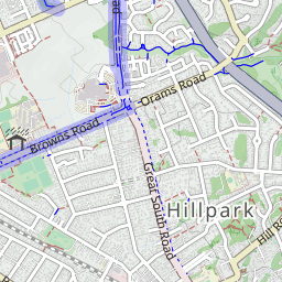
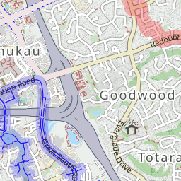
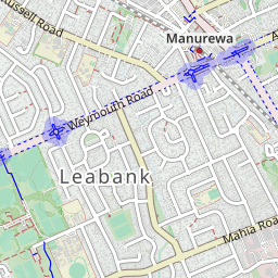
The Auckland Botanic Gardens is such a amazing place that some people I know even come three times a week although living quite far away from. That’s the place in Auckland you must go if you love gardening, flowers and plant. But not many people know there are also some amazing walk tracks in there. Take a look at the map below, that only gives a hint to help you to find the tracks without worrying get lost at all.
Car Park: Yes. Set “Auckland Botanical Gardens” in your GPS. It’s bout only 15 to 20 minutes drive from Auckland city center.
Information Center: Huge car park, public toilet and Cafe.
Weather: Check Weather before you go!
For better map display, click the buttons (Full Screen, Hide/Show Photos and Back to Center) in the top right corner of the map to study the tracks we took or any other tracks. For more details about Auckland Botanic Gardens, you may go to aucklandbotanicgardens.co.nz to find out.


Max elevation: 138 m
Min elevation: 42 m
Total climbing: 538 m
Total descent: -533 m
Average speed: 4.35 km/h
Total time: 03:34:00
Difficulty Rating: 1.98 – E
The “Total Time” is my time in August which includes morning tea time and lunch time. That day was fine and the track was good. If you slow down to average 3.5 km/h plus 60 min stop then the total time will be around 4:45 hrs.
Click photos below or go to Gallery to enjoy all photos and videos.
