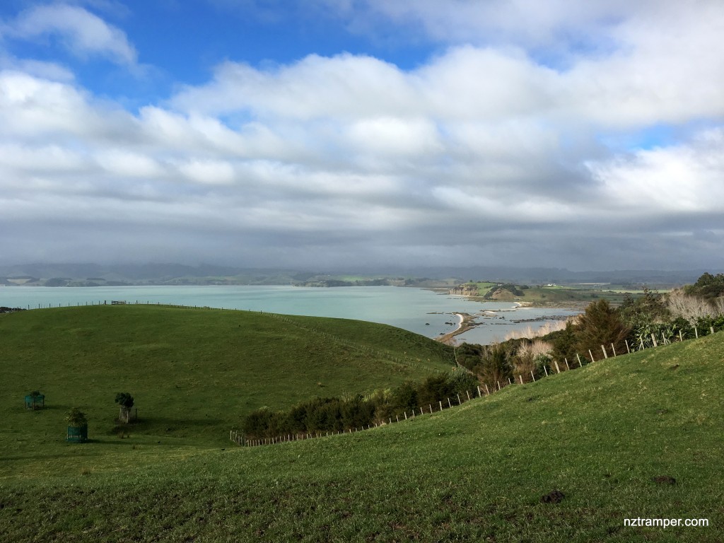
Trails: Duder Regional Park car park – Farm Loop Track – Whakakaiwhara Pa Walk – Whakakaiwhara Point – Coastal Walk (low tide) to join Farm Loop Track again – Sustainable Trail – Beach track to Wairoa Bay – coastal walk (low tide) back to Farm Loop Track until car park.
Car Park: Yes. Duder Regional Park. It’s about 45 km 50 minutes drive from Auckland city centre.
Public Toilet: Yes.
Weather: Check Weather before you go!
For better map display, click the buttons (Full Screen, Hide/Show Photos and Back to Center) in the top right corner of the map to study the tracks we took or any other tracks.
Max elevation: 95 m
Min elevation: 7 m
Total climbing: 484 m
Total descent: -483 m
Average speed: 4.39 km/h
Total time: 04:10:29
Total flat distance: 12.1 km, Climbing distance: 3.6 km, Descent distance: 3.4 km, Flat distance: 5.1 km, Maximum difference: 89 m, Final balance: 0 m.
Difficulty Rating: 1.79 Easy
The “Total Time” is my time in July which includes breaks and lunch time.
Duder Regional Park Walk