This track was altered on 25th Oct. 2013. Track in the bush, farmland and around lake was removed as requested by the property owner. The owners, the Presbyterian Church, have stated that no trampers are allowed to go through.
Trails: Muriwai Beach carpark – Takapu (Gannet) Refuge Walk – Waitea Road – Quarry Track – Lookout Track – Edwin Mitchelson Track – Oaia Road – Motutara Road – Grass Track Road – Coast Road – Coast Rd beach access car park – Beach Access – Muriwai Beach – Motutara Rd Muriwai Beach car park.
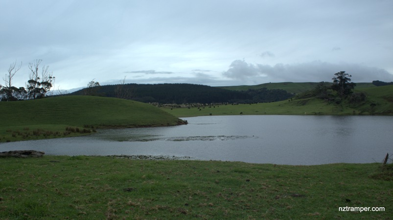
NB. Must have permission from the owner before enter into the farmland and lake!
GPS: Set “-36.83009,174.42803” in your GPS. End of Motutara Road Muriwai Beach car park. It’s about 46km and 40 minutes drive from Auckland city center.
Public Toilet: Yes
Weather: Check Weather before you go!
For better display, click the buttons (Full Screen, Hide/Show Photos and Back to Center) in the top right corner of the map to study the tracks we took or any other tracks. For more information about Muriwai Beach go to Muriwai Beach.
Altered track map will added soon later. Sorry!
Difficulty Rating: 1.48 – E
The “Total Time” is my time in June which includes morning tea time and lunch time. That day was cloudy but the track was fine. We walked quite slow as someone got ankle injury. If you slow down to average 3.0 km/h plus 60 min stop then the total time will be around 4:45 hrs.
Photos on the map. Click opened photo to close.


Click this photo below to enjoy more original large size photos of this track!
lake Okaihau Tracks in Muriwai Beach Auckland