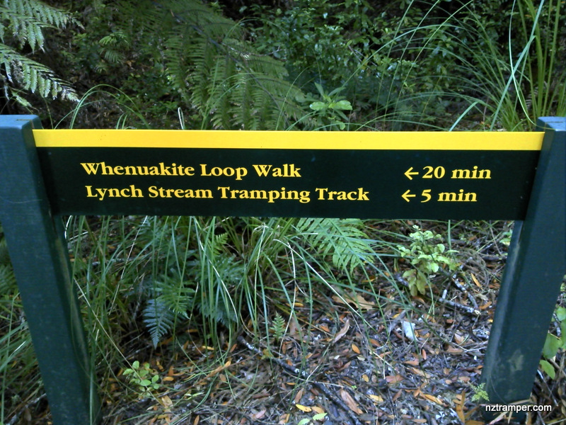
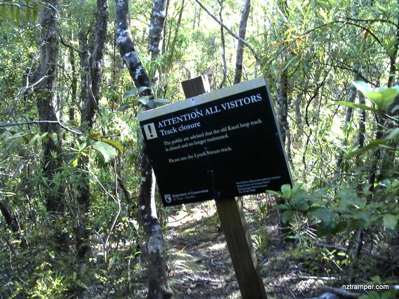
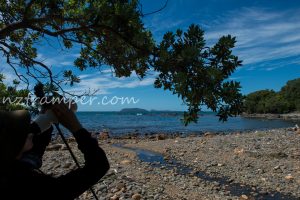
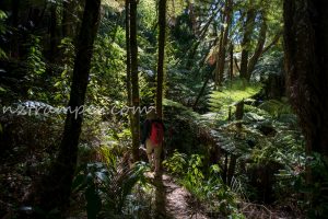
Trails: Whenuakite car park on State Highway 25 – Lynch Stream Track – Whenuakite Loop Walk – Lynch Stream Track – Lynch Stream Bay – Otara Bay North Track – Otara Bay (further to Sailors Grave) – return back the same way to carpark.
Caution: 82 times stream crossing! May tough in wet weather.
Car Park: Yes. Whenuakite car park. It’s about 10 minutes drive from Tairua town centre.
Public Toilet: Yes.
Weather: Check Weather before you go!
For better map display, click the buttons (Full Screen, Hide/Show Photos and Back to Center) in the top right corner of the map to study the tracks we took or any other tracks.


Max elevation: 178 m
Min elevation: 0 m
Total climbing: 952 m
Total descent: -963 m
Average speed: 3.07 km/h
Total time: 05:41:33
Total flat distance: 11.8 km, Climbing distance: 5.2 km, Descent distance: 5.5 km, Flat distance: 1.3 km, Maximum difference: 177 m, Final balance: 0 m.
Difficulty Rating: 2.33 E+
The “Total Time” is my time in Jan which includes breaks, photo shooting and lunch time. That day was fine and the tracks were good.
All photos