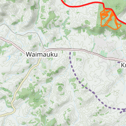
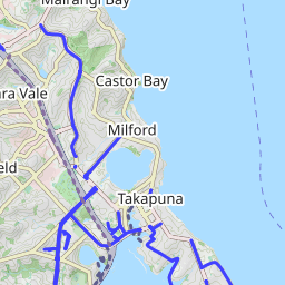
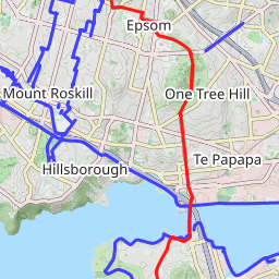
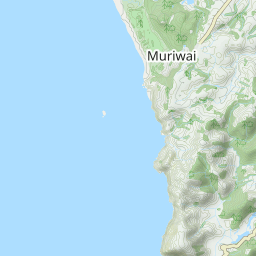
Off Road Cycling Trail: Te Atatu Walkway and Whau West Walkway in Te Atatu Peninsula – Henderson Creek path – Cranwell Park – Henderson Park – Opanuku Stream Cycle And Walkway until Herderson Valley Road and return.
Car Park: Yes public car park.
Public Toilet: No.
Note: Fat tire, Runnable, Some sections are expose! Trail running shoes.
For better map display, click the buttons (Full Screen, Hide/Show Photos and Back to Center) in the top right corner of the map to study the tracks we took or any other tracks.


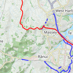
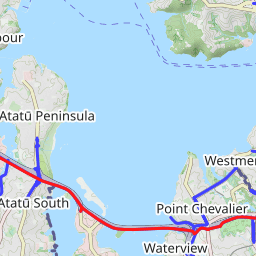
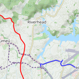
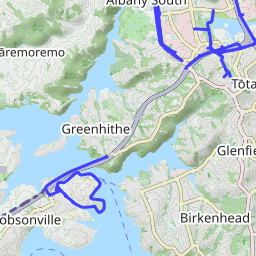
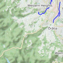
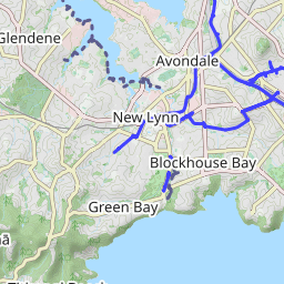
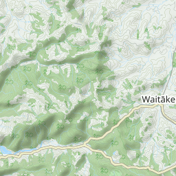
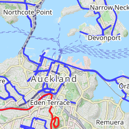

Leaflet | Data © OpenStreetMap contributors, Maps © Thunderforest contributors, CC-BY-SA, Imagery © Mapbox
Total distance: 36.4 km
Max elevation: 35 m
Min elevation: 3 m
Total climbing: 471 m
Total descent: -470 m
Average speed: 16.49 km/h
Total time: 02:35:37
Max elevation: 35 m
Min elevation: 3 m
Total climbing: 471 m
Total descent: -470 m
Average speed: 16.49 km/h
Total time: 02:35:37