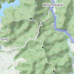
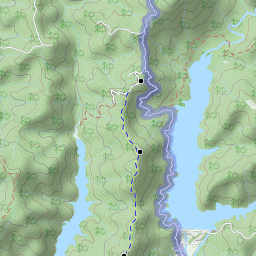
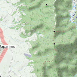
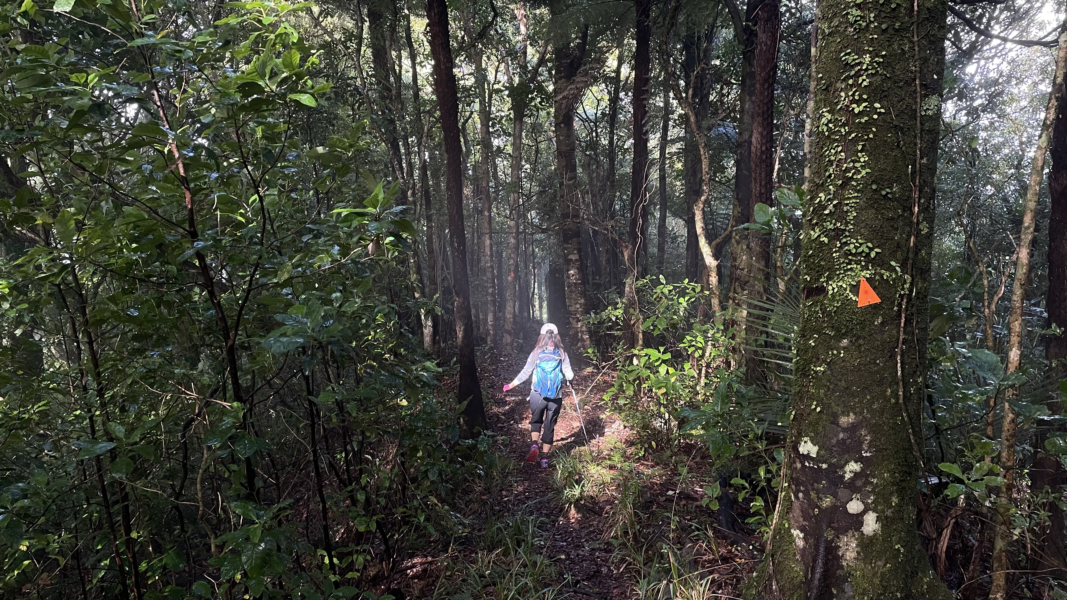
Upper Mangatawhiri Dam car park – Lilburn Road Track – Pukapuka Track – Mangatangi Trig – Lower Mangatawhiri Camp Ground – Moumoukai Valley Road – River Track – car park.


Leaflet | Data © OpenStreetMap contributors, Maps © Thunderforest contributors, CC-BY-SA, Imagery © Mapbox
Total distance: 25.89 km
Max elevation: 507 m
Min elevation: 87 m
Total climbing: 1239 m
Total descent: -1257 m
Average speed: 6.13 km/h
Total time: 05:33:45
Max elevation: 507 m
Min elevation: 87 m
Total climbing: 1239 m
Total descent: -1257 m
Average speed: 6.13 km/h
Total time: 05:33:45
