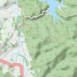
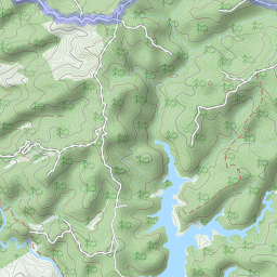
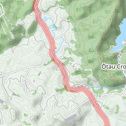
Trails: Falls Road road end car park – Cossey Gorge Track (or Cosseys Gorge Track on some maps) – Massey Track – Wairoa Cossey Track (or Wairoa Cosseys Track on some maps) – Wairoa Loop Track and Wairoa Dam – Suspension Bridge Track – Wairoa Cossey Track – Massey Track – Cosseys Dam – Cossey Gorge Track – back to car park.
For better map display, click the buttons (Full Screen, Hide/Show Photos and Back to Center) in the right top corner of the map to study the tracks we took or any other tracks.


Max elevation: 410 m
Min elevation: 52 m
Total climbing: 1398 m
Total descent: -1397 m
Average speed: 6.20 km/h
Total time: 05:23:18
Total flat distance: 27.3 km, Climbing distance: 10.6 km, Descent distance: 10.9 km, Flat distance: 6.1 km, Maximum difference: 357 m, Final balance: 0 m. Elevation corrected by ST3.
Difficulty Rating: 4.52 – H
The “Total Time” is my time in Dec. which includes breaks. That day was fine. Wairoa Cosseys Track was still muddy.