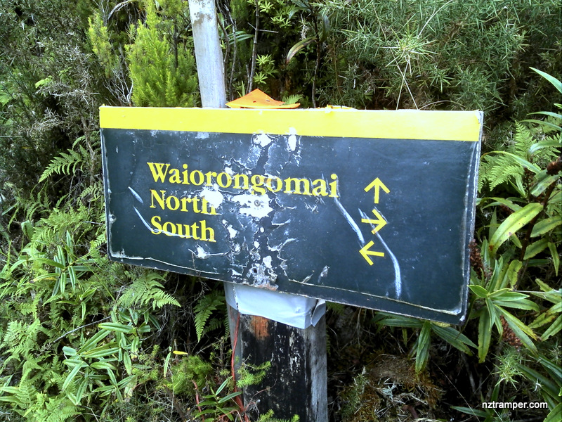
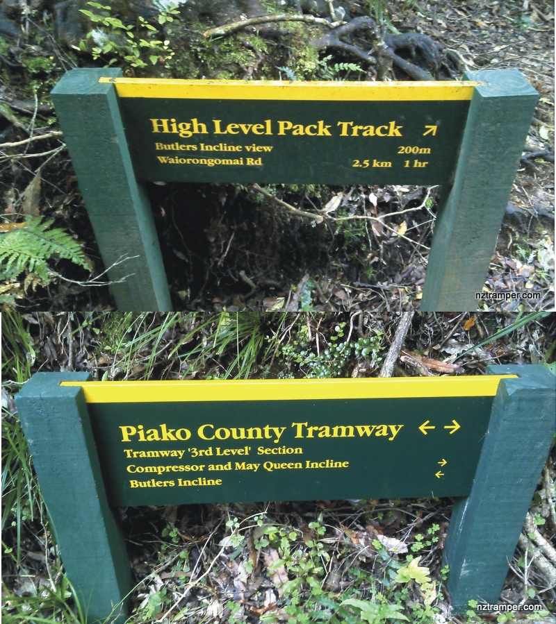
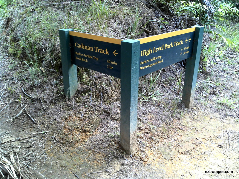
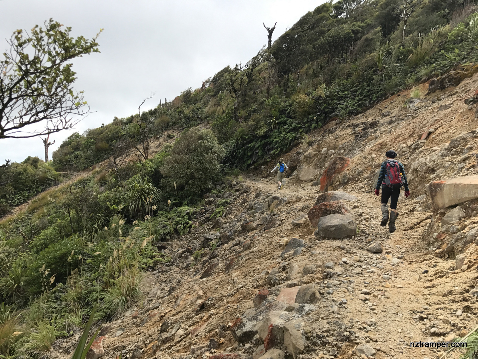
Trails: Waiorongomai Road road-end car park – Low Level Track – Pylon Peak Track – Kaimai Ridgeway – Waipapa Track to Waiorongomai Valley – Waiorongomai Saddle Track (footbridge and tunnel) – High Level Pack Track – car park.
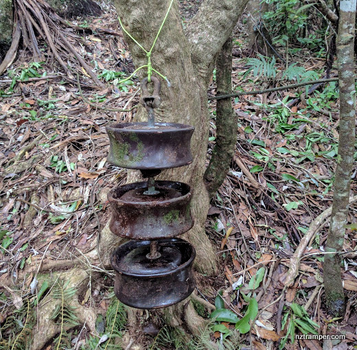
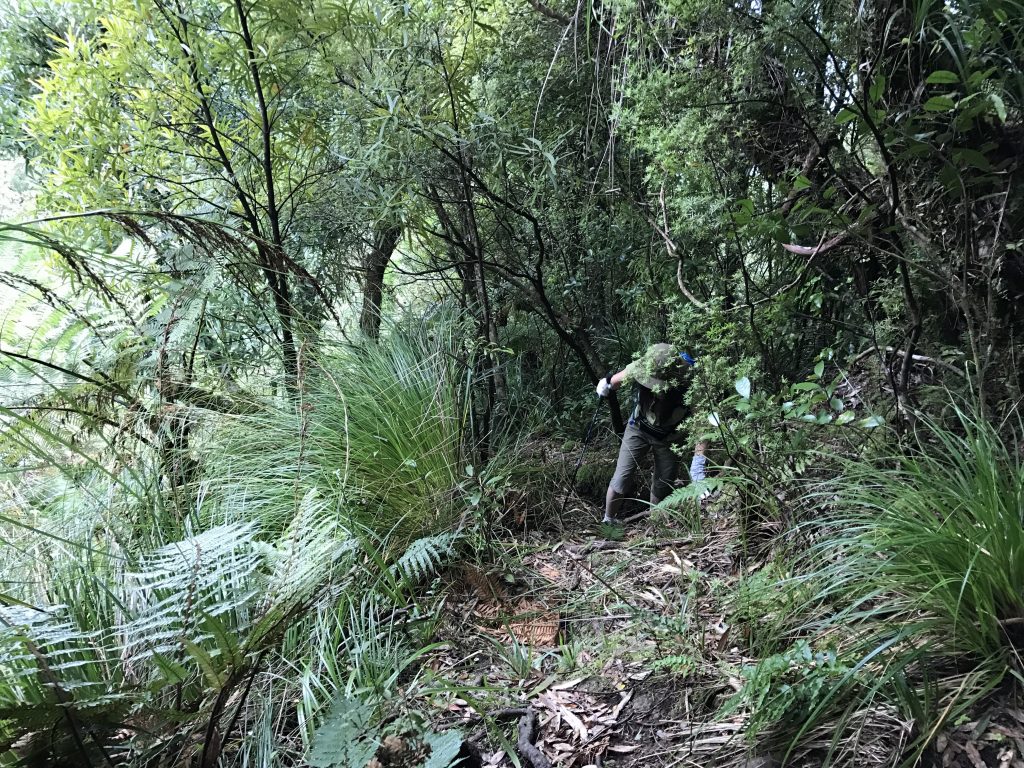
Caution: Stream crossing at very beginning of Pylon Peak Track. Must follow the orange triangle marks on Kaimai Ridgeway! Kauri Grove Track is closed.
Car Park: Yes. Just set “Waiorongomai Road, Te Aroha West” in your GPS. It’s at the very end of this road. It’s about 140km and 100 minutes drive from Auckland city center.
Public Toilet: Yes
Weather: Check Weather before you go!
Maps can be full screen, hide / show photos, back to center, zoom in both maps and elevation profile. How to use map.

Max elevation: 768 m
Min elevation: 69 m
Total climbing: 1122 m
Total descent: -1123 m
Average speed: 4.56 km/h
Total time: 05:12:22
Difficulty Rating: 3.18 – M
The “Total Time” is my time in March which includes morning tea time and lunch time. That day was cloudy and the tracks were in good condition. If you walk to average 2.5 km/h plus 60 min stop then the total time will be around 6.5 hrs.

08/10/2022 We did it again.
Max elevation: 780 m
Min elevation: 64 m
Total climbing: 1147 m
Total descent: -1139 m
Average speed: 5.08 km/h
Total time: 04:25:18