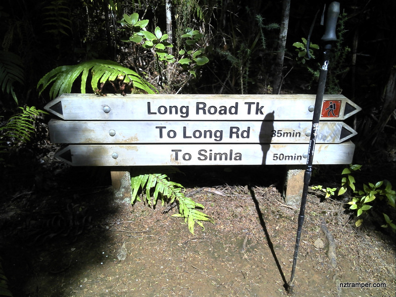
Trails: Falls Road roadend car park – Auckland City Walk – Upper Kauri Track – Lower Kauri Track – Long Road Track – Smyth Corner – Smyth Ridge Track (very short walk) – Sisam Track – Simla Track – Ridge Road Track (very short walk) – Long Road Track – Upper Kauri Track – Auckland City Walk – car park.
Tracks closed: Chateau Mosquito Track and Robinson Ridge Track.
Car Park: Yes. Set “Falls Road, Waitakere” on you GPS. Drive until road end. It’s about 35km 40 minutes drive from Auckland city center.
Public Toilet: Yes
Weather: Check Weather before you go!
For better map display, click the buttons (Full Screen, Hide/Show Photos and Back to Center) in the top right corner of the map to study the tracks we took or any other tracks. For more information about Lower Kauri Track you may go to Waitakere Ranges
Max elevation: 337 m
Min elevation: 51 m
Total climbing: 880 m
Total descent: -872 m
Average speed: 4.72 km/h
Total time: 03:42:11
Difficulty Rating: 2.69 – E+
The “Total Time” is my time in December which includes morning tea time and lunch time. That day was fine and the track was good. If you slow down to average 2.8 km/h plus 60 min stop then the total time will be around 5:30 hrs.
Photos on the map. Click opened photo to close.


Click this photo below to enjoy more original large size photos of this track!
Lower Kauri to Sisam to Simla to Long Road to Upper Kauri Tracks loop