Round the Mountain (Mount Ruapehu) Track. Day two: Mangaturuturu Hut to Rangipo Hut.
Trails: Mangaturuturu Hut – Ohakune Mountain Road – Mangaehuehu Hut – Rangipo Hut.
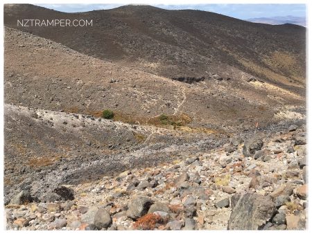
For better map display, click the buttons (Full Screen, Hide/Show Photos and Back to Centre) in the top right corner of the map to study the tracks we walked. Please go to DOC for detailed information.
Total distance: 26.16 km
Max elevation: 1616 m
Min elevation: 1167 m
Total climbing: 2451 m
Total descent: -2107 m
Average speed: 3.90 km/h
Total time: 09:33:29
Max elevation: 1616 m
Min elevation: 1167 m
Total climbing: 2451 m
Total descent: -2107 m
Average speed: 3.90 km/h
Total time: 09:33:29
Total flat distance: 25.2 km, Maximum difference: 450 m, Final balance: 345 m.
Difficulty Rating: Tough
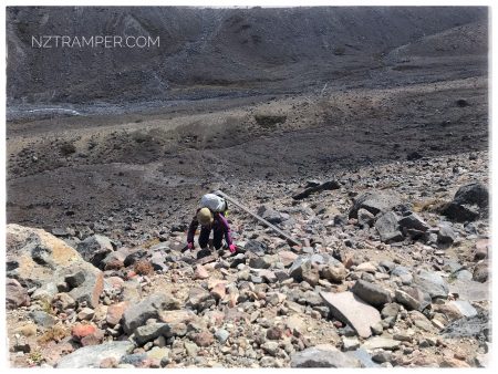
The “Total Time” is my time in Jan 2020 which includes lunch time and breaks. That day was cloudy and drizzly. Strong wind and gales at most exposed areas. Perry was fallen down by burst gale and got her knees injured.
-

- Round the mountain track day two

-
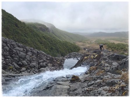
- Round the mountain track day two
-
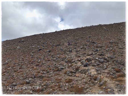
- Round the mountain track day two
-
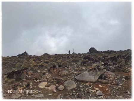
- Round the mountain track day two
-
- Round the mountain track day two
-
- Round the mountain track day two