Part of Te Araroa Trail: Puhoi Domain – Puhoi Track – Remiger Rd – Dunns Ridge Track or Dunn’s Bush Track – Sugar Loaf Rock – Dunn’s Bush – J Tolhopf Rd – Moirs Hill Summit Track (Barker Road) – Moirs Hill Summit – Waihunga Moir Hill Track – return back the same trail to Puhoi Domain.
Car Park: Puhoi Domain
Toilet: Yes
Weather: Check weather before you go.
For better map display, click the buttons (Full Screen, Hide/Show Photos and Back to Center) in the top right corner of the map to study the tracks we took or any other tracks. For more information about Puhoi, you may go to www.teararoa.org.nz
Max elevation: 363 m
Min elevation: 13 m
Total climbing: 1292 m
Total descent: -1271 m
Average speed: 7.54 km/h
Total time: 04:03:25
Total flat distance: 25.1 km, Climbing distance: 9 km, Descent distance: 9.1 km, Flat distance: 7.3 km, Maximum difference: 351 m, Final balance: 0m.
Difficulty Rating:
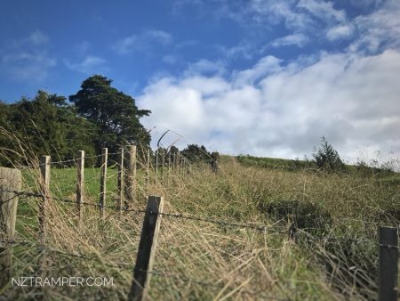
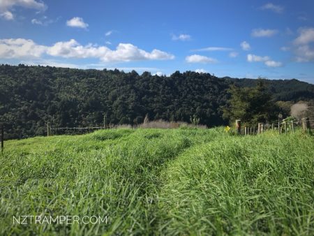
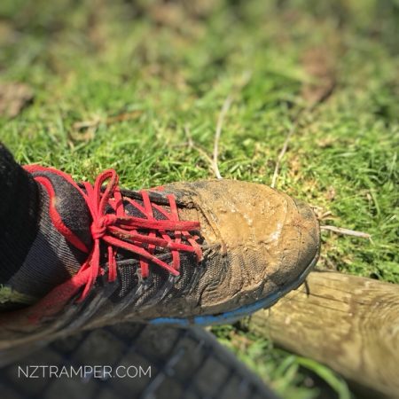
The “Total Time” is my time in May which includes drinking breaks. That day was fine and part of trail was muddy, slippery and overgrown. If you slow down to average 5 km/h plus 20 min stop then the total time will be around 5:20 hrs.
2nd time
16/05/2020 running with friends: Puhoi Domain – Puhoi Track – Remiger Rd – Dunns Ridge Track – Sugar Loaf Rock – Dunn’s Bush – Valley Track – Ahuroa Road – Moirs Hill Summit Track (Barker Road) – Moirs Hill Summit – Waihunga Moir Hill Track – return back to Puhoi Domain by J Tolhopf Rd.
Max elevation: 359 m
Min elevation: 7 m
Total climbing: 1512 m
Total descent: -1502 m
Average speed: 7.07 km/h
Total time: 05:52:27
Note: The Valley Track west section was closed and overgrown (hard to find it!) although you still can see it on some maps.