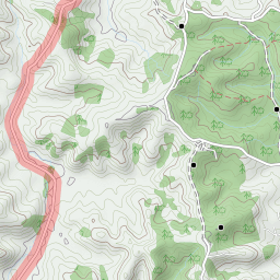
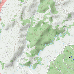
Running Trails: Barlow Road gate car park – Riverhead Forest – unnamed mountain bike and motor bike tracks and roads.
Caution: There are lots of unnamed mountain bike and motor bike tracks there, very easy get lost. Always watch out high speed downhill mountain bikes!
Car Park: Yes. It’s about 39 km 35 minutes drive from Auckland city centre.
Public Toilet: No
Weather: Check Weather before you go!
For better map display, click the buttons (Full Screen, Hide/Show Photos and Back to Center) in the top right corner of the map to study the tracks we ran or any other tracks.


Max elevation: 175 m
Min elevation: 46 m
Total climbing: 766 m
Total descent: -766 m
Average speed: 7.56 km/h
Total time: 03:41:17
Total flat distance: 22.4 km, Climbing distance: 7.4 km, Descent distance: 7.7 km, Flat distance: 7.4 km, Maximum difference: 128 m, Final balance: 0 m. Elevation corrected by ST3.
Difficulty Rating: 3.14 M
The “Total Time” is my time in Dec. which includes short tea time and breaks. That day the weather was not bad.
I’d love to be able to download your GPX or KML files. Looks like you’ve found some good runs! I’m struggling to rind runs with all the track closures.
Will send them to you. But they are all in 2016. Hope they are helpful.