Trails: Upper Mangatawhiri Campground car park – A.R.A Drive – Pukapuka Track – Lilburne Road – Upper Mangatawhiri Dam – car park.
Car Park: Yes. Moumoukai Road – A R A Drive – Waterline Road – Upper Mangatawhiri Campground car park. It’s about 60km and 60 minutes drive from Auckland city centre.
Public Toilet: Yes
Weather: Check Weather before you go!
For better map display, click the buttons (Full Screen, Hide/Show Photos and Back to Center) in the top right corner of the map to study the tracks we took or any other tracks.
Max elevation: 524 m
Min elevation: 124 m
Total climbing: 853 m
Total descent: -841 m
Average speed: 7.62 km/h
Total time: 02:32:14
Total flat distance: 15.6 km, Climbing distance: 4.8 km, Descent distance: 5.7 km, Flat distance: 5.3 km, Maximum difference: 401 m, Final balance: 0.0 m.
Difficulty Rating: M
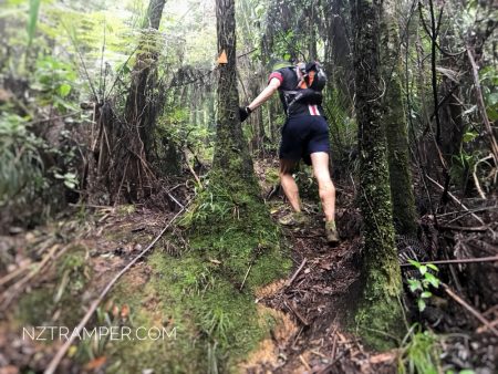
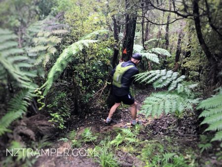
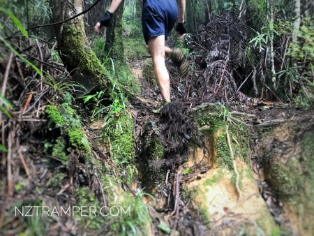
The “Total Time” is my time in June which includes drinking breaks. That day was cloudy, drizzle and the track was very wet.
-

- Trail Running
-
- Trail Running
-
- Trail Running