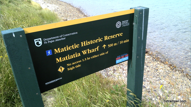
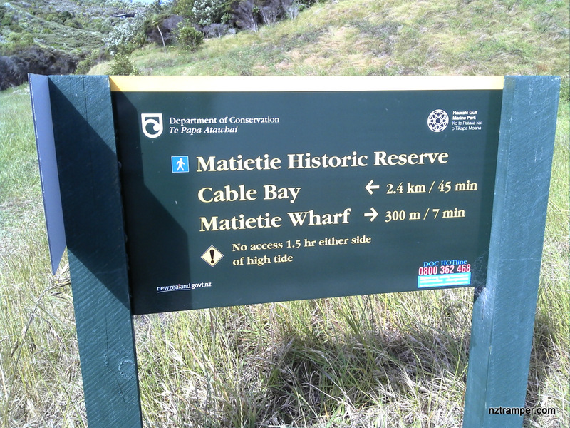
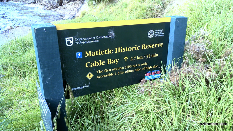
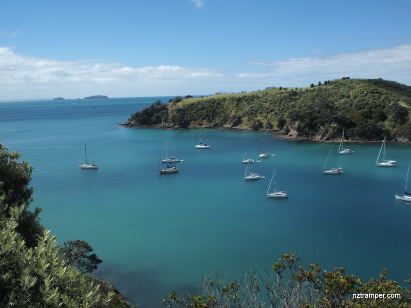
Trails: Waiheke Island Matiatia Wharf – Coastal Walkway to Te Miro Bay – Church Bay – Cable Bay Road – Track to Te Wharau Bay – Track to Church Bay Road – to Oneroa Bay by Church Bay Road – left to Korora Reserve – Korora Road – Track to Island Bay – Coastal track to Owhanake Bay – Coastal track to Matiatia Bay and Matiatia Wharf.
Note: Must take the Matiatia Walking Map on Matiatia Wharf Information Center before your tramping! The names of tracks on the map do not match with the sign posts on site. Some names are only known locally. The last 100 meters track from Owhanake Bay to Matiatia Bay by Coastal track is only accessible 1.5 hour either side of high tide.
Matiatia Wharf: Car park + Information Center + Food. Set “Matiatia Wharf, Auckland” in your GPS. The ferry is about 35 minutes from Auckland Ferry Building. Auckland city downtown Carpark. Ferry back to Auckland Ferry Building is one hour interval until midnight.
Public Toilet: Yes
Weather: Check Weather before you go!
For better map display, click the buttons (Full Screen, Hide/Show Photos and Back to Center) in the top right corner of the map to study the tracks we took or any other tracks.

Max elevation: 118 m
Min elevation: 5 m
Total climbing: 1046 m
Total descent: -1038 m
Average speed: 4.40 km/h
Total time: 06:32:20
Difficulty Rating: 2.97 – M
The “Total Time” is my time in November which includes morning tea time and lunch time. That day was fine and the track was good. If you slow down to average 3.0 km/h plus 75 min stop then the total time will be around 7:15 hrs.
Photos on the map. Click opened photo to close.


Click this photo below to enjoy more original large size photos of this track!
Waiheke Island Tramping Tracks loop