Trails: Car park – One Mile Creek Walk or One Mile Track – Junction of One Mile Track and Fernhill Loop Track and Ben Lomond Walkway – Ben Lomond Track – Junction to Arthurs Point via Moonlight Track – Ben Lomond summit – retrace back to car park.
Caution: Ben Lomond Track may covered by snow and ice in winter and may very cold at summit.
Car Park: Yes. End of One Mile Powerhouse metalled road, 5 minutes drive from Queenstown city centre.
Public Toilet: No
Weather: Check Queenstown Weather before you go.
For better map display, click the buttons (Full Screen, Hide/Show Photos and Back to Center) in the top right corner of the map to study the tracks we took or any other tracks.
Max elevation: 1748 m
Min elevation: 326 m
Total climbing: 1458 m
Total descent: -1452 m
Average speed: 3.74 km/h
Total time: 06:03:09
Total flat distance: 13.9 km, Climbing distance: 6.7 km, Descent distance: 6.7 km, Flat distance: 0.9 km, Maximum difference: 1423 m, Final balance: 0 m
Difficulty Rating: 4.31 – H
The “Total Time” is my time in April (23/04/15) which includes morning tea and lunch time. That day was fine and the tracks were good. If you slow down to average 2.5 km/h plus 90 min stop then the total time will be around 7:15 hrs.
Photos on the map above. Click opened photo to close.


Click photos below or go to Gallery to enjoy all photos and videos.
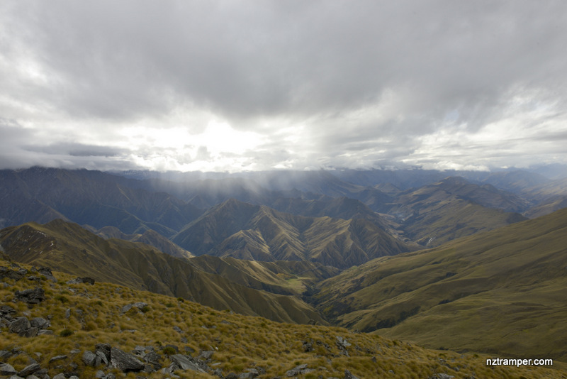
Ben Lomond Walkway and Tramping Track in Queenstown