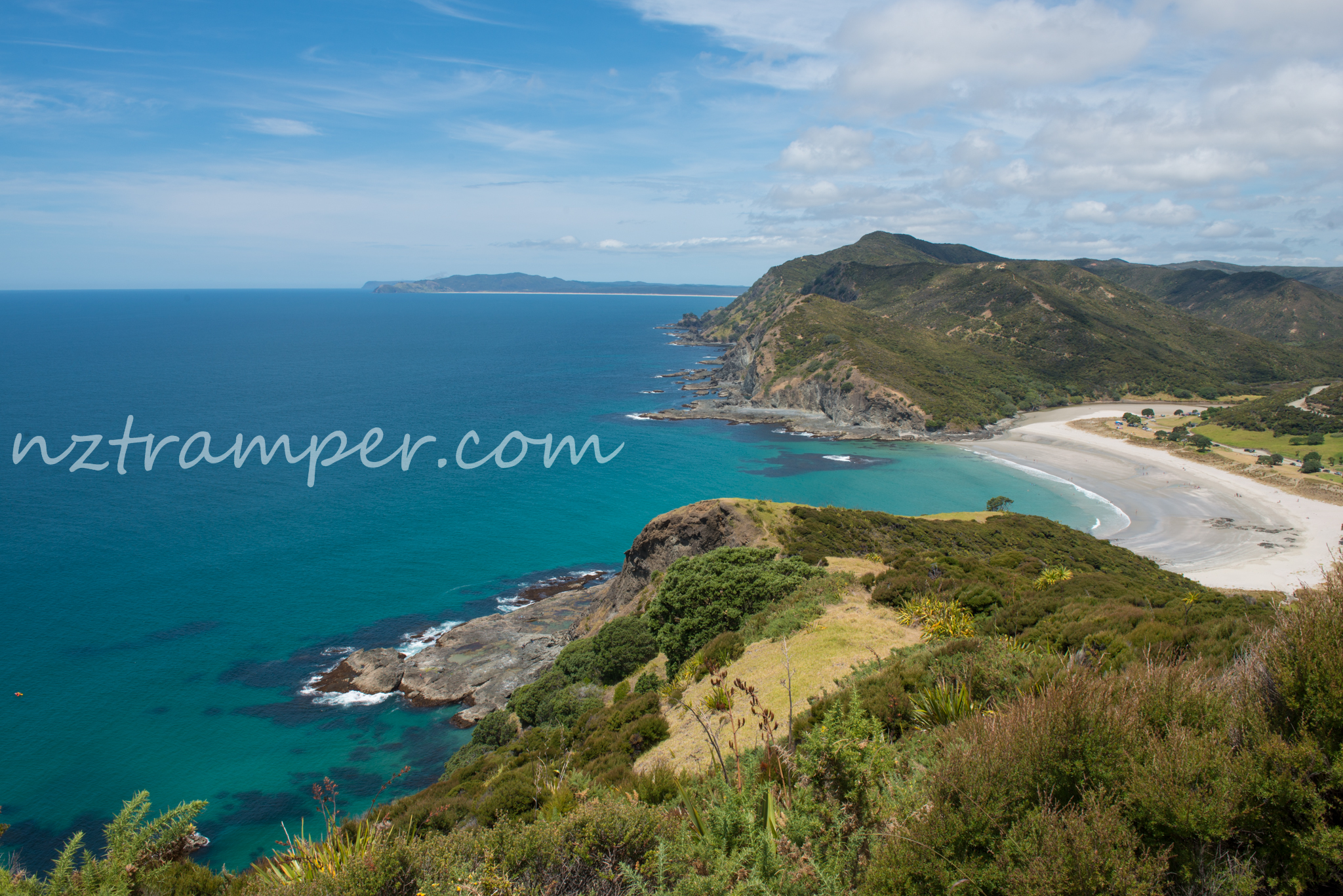
Trails: Tapotupotu Campground – Te Paki Coastal Track or Cape Reinga Coastal Walkway on some maps – Cape Reinga lighthouse – back the same way.
Car Park: Yes. Tapotupotu Bay Camping Area. It’s about 112 km 1 h 35 min drive from Kaitaia.
Public Toilet: Yes.
Weather: Check Weather before you go!
For better map display, click the buttons (Full Screen, Hide/Show Photos and Back to Center) in the top right corner of the map to study the tracks we took or any other tracks.
Max elevation: 219 m
Min elevation: 7 m
Total climbing: 958 m
Total descent: -956 m
Average speed: 4.23 km/h
Total time: 04:58:19
Total flat distance: 11.5 km, Climbing distance: 4.3 km, Descent distance: 5.3 km, Flat distance: 2.2 km, Maximum difference: 213 m, Final balance: 0 m.
Difficulty Rating: 2.35 E+
The “Total Time” is my time in Jan which includes breaks, photo shooting and lunch time. That day was fine and the track was good.