Trails: Wairoa Loop Track – Mangtawhiri Challenge Track – Wairoa Hill Road – Off track to Firth Road – Off track to Wairoa Cosseys Track – Wairoa Cosseys Track – Suspension Bridge Track – Wairoa Loop Track Moumoukai Road car park. (Derek Loop 1)
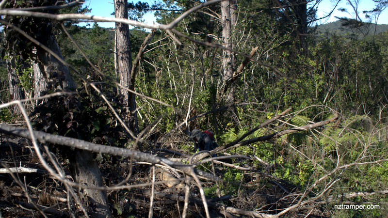
Caution: !!!Experienced tramper with very good navigation skill only!!! Bush crushing on off tracks.
Car Park: Yes. Wairoa Loop Track Moumoukai Road car park. It’s about 60 minutes drive from Auckland city centre.
Public Toilet: No
Weather: Check Weather before you go!
For better map display, click the buttons (Full Screen, Hide/Show Photos and Back to Center) in the top right corner of the map to study the tracks we took or any other tracks. For more details about this area, you may go to Waitakere Ranges to find out.
Max elevation: 418 m
Min elevation: 130 m
Total climbing: 1182 m
Total descent: -1167 m
Average speed: 4.69 km/h
Total time: 05:00:41
Total flat distance: 16.4 km, Climbing distance: 7 km, Descent distance: 7.2 km, Flat distance: 2.6 km, Maximum difference: 289 m, Final balance: 0 m
Difficulty Rating: 3.46 – M+
The “Total Time” is my time in May which includes morning tea and lunch time. That day was fine and the tracks were tough. If you slow down to average 3 km/h plus 60 minutes stop then the total time will be around 6:30 hrs.
Photos on the map. Click opened photo to close.


Click photos below or go to Gallery to enjoy all photos and videos.
Wairoa Loop Tk to Mangtawhiri Challenge Tk to Wairoa Cosseys Tk Loop around Wairoa Reservoir in Hunua Ranges
Hi Derek,
I’m involved in pest control for the Kokako Protection project and do some exploring for possible extension and linking several (3) project areas. The GPS file would be handy to get some guidance on where to go. Yesterday I got really stuck in heavy Supplejack growth and had to go back. I’ve made it to Firth Rd through another bush bash, but want to get to Wairoa Hill Rd.
I will send you the GPS file when I back from holiday. I walked it years ago and will not walk any off track any more because the kauri dieback. Enjoy your holiday!
Very interesting. Appear to have found part of the track while bush bashing from Wairoa track. Followed it to where it goes steep down, probably to Firth Rd. Lost it at the other side. Do you have the GPS track for this trail?
Yes, I have. But the Wairoa Cosseys Track is closed.