Running Trails: Upper Nihotupu Walk car park – Ian Wells Track – Cutty Grass Track – Auckland ASC Hut – ATC Hut – Ridge Road Track – AUTC Hut – Long Road Track – Upper Kauri Track – Auckland City Walk – Fence Line Track – Waitakere Dam – Waitakere Dam Access Road – Scenic Drive – Cutty Grass Track – Ian Wells Track – Piha Road – car park.
Car Park: Yes. It’s about 30 km 35 minutes drive from Auckland city centre.
Public Toilet: No
Weather: Check Weather before you go!
For better map display, click the buttons (Full Screen, Hide/Show Photos and Back to Center) in the top right corner of the map to study the tracks we took or any other tracks. For more information about these hiking tracks you may go to Waitakere Ranges.
Max elevation: 400 m
Min elevation: 61 m
Total climbing: 908 m
Total descent: -909 m
Average speed: 7.27 km/h
Total time: 04:30:24
Total flat distance: 24.8 km, Climbing distance: 8.7 km, Descent distance: 8.6 km, Flat distance: 7.6 km, Maximum difference: 339 m, Final balance: 0 m. Elevation corrected by ST3.
Difficulty Rating: 3.73 M+
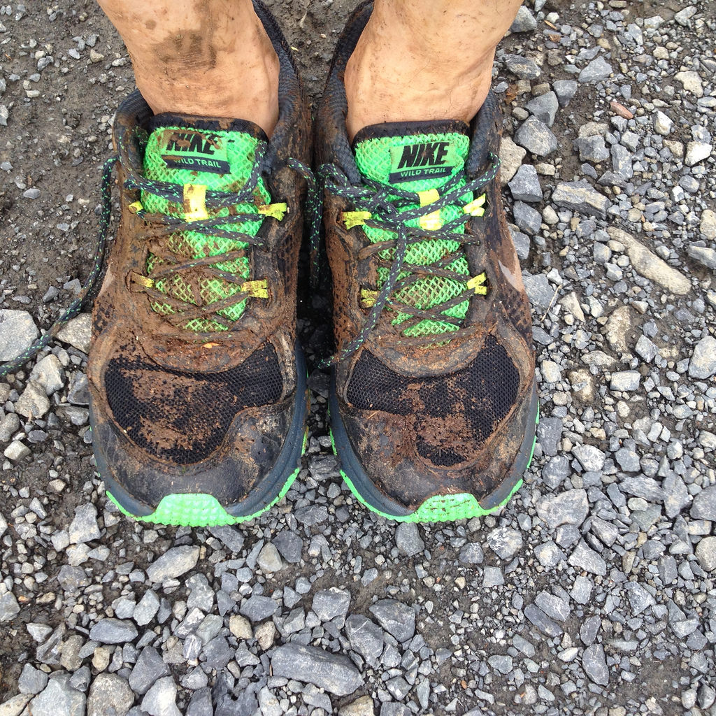
The “Total Time” is my time in Nov. which includes short tea time and lunch time. That day was cloudy and had drizzle. Tracks were quite slippery and muddy due to a heavy rain in early morning. This was my first trail running! Great experience! Thanks Ronald!

My wet muddy shoes and first trail running

Ronald’s wet muddy shoes
this looks like a good trail route. Are there clear trail signs in this one?
Hi, it’s easy to follow all tracks. Some tracks in Waitakere don’t have marks but you can see the sign post at each junctions.