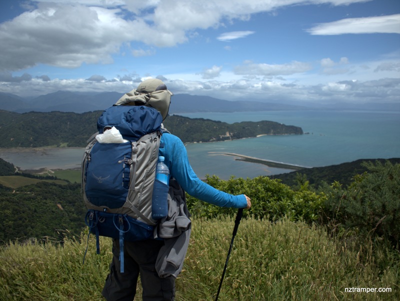
Trails: Take water taxi from Marahau to Totaranui Beach – Totaranui Beach campsite – Abel Tasman Coast Track North – Gibbs Hill Track – Junction of Gibbs Hill Track and Inland Track (to Pigeon Saddle) – Gibbs Hill – Junction to Wainui Bay – Whariwharangi Hut – Junction of Separation Point track and direct route to Mutton Cove Campsite – Separation Point – Abel Tasman Coast Track Separation Point to Mutton Cove – Abel Tasman Coast Track to Totaranui Beach campsite.
Car Park: Yes. Set “-40.822546,173.004009” in your GPS, 135km 2.5 hrs drive from Nelson, or take water taxi from Marahua Abel Tasman Centre.
Public Toilet: Yes.
Weather: Check Weather before you go!
For better map display, click the buttons (Full Screen, Hide/Show Photos and Back to Center) in the top right corner of the map to study the tracks we took or any other tracks.
Max elevation: 388 m
Min elevation: -13 m
Total climbing: 1035 m
Total descent: -1042 m
Average speed: 4.52 km/h
Total time: 06:37:43
Difficulty Rating: 3.57 – M+
The “Total Time” is my time in Jan which includes lunch time and afternoon tea time. That day was fine and the track was good. If you walk on average 3 km/h plus 60 min stop then the total time will be around 8 hrs. Think about the time if you carry a big hiking bag.
Photos on the map. Click opened photo to close.
Click this photo below to enjoy more large size photos of this track!


Many wonderful photos !
8 days Nelson tramping holiday – Abel Tasman Coast Track – Day One