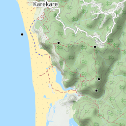
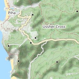
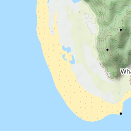
Trails: End of Fire Road campsite car park just before Karamatura Track – Karamatura Track – Karamatura Forks – Huia Ridge Track – Walk Ridge Track (some popular maps locate here the Karamatura Forks, not correct) – Orange Peel Corner – Odlin Timber Track – Buck Taylor Track – Zion Ridge Track – Zion Hill Track – Pohutukawa Glade to beach – Pararaha Coastal Route (follow Hillary Trail sign) – pass Tunnel campsite – Pararaha Valley Track – cross stream – Pararaha shelter and campsite – Muir Track – Gibbons Track – Whatipu – Omanawanui Track – Puriri Ridge Track – Mt Donald McLean Track – Fletcher Track – Karamatura Track – car park.
Car Park: Yes, beside Huia Settlers Museum and end of Fire Road campsite car park gate closed 6pm. It’s about 36km 40 minutes drive from Auckland city centre.
Public Toilet: Yes at campsite.
Weather: Check Weather before you go! For more information about Waitakere Ranges please go to DOC.
Maps can be full screen, hide / show photos, back to center, zoom in both maps and elevation profile. How to use map.


Max elevation: 413 m
Min elevation: 0 m
Total climbing: 1748 m
Total descent: -1745 m
Average speed: 7.40 km/h
Total time: 06:23:25
Total flat distance: 30.2 km, Climbing distance: 11 km, Descent distance: 11.9 km, Flat distance: 7.7 km, Maximum difference: 412 m, Final balance: 0 m. Tracks were recorded by iphone 7 and some critical inaccurate points were altered and also the elevation profile was corrected.
Difficulty Rating: 5.23 H
The “Total Time” is my time on Sat. 29th April 2017 which includes drinking breaks. That day was 17°C and most time was raining. Some tracks were very muddy and slippery.
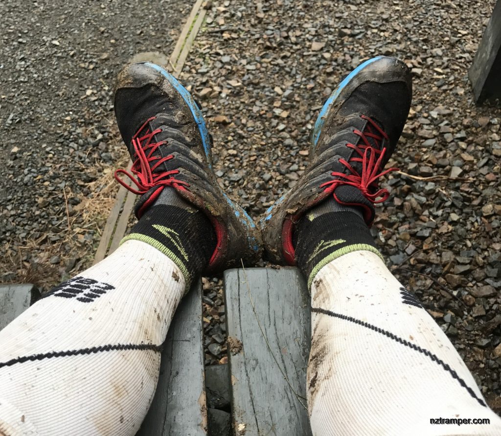
First time break in my new trail running shoes Inov-8 X-CLAW 275. Feel much comfortable than X-TALON 212. But better squeeze out the water after cross stream as the insoles are thick and absorb some water.

