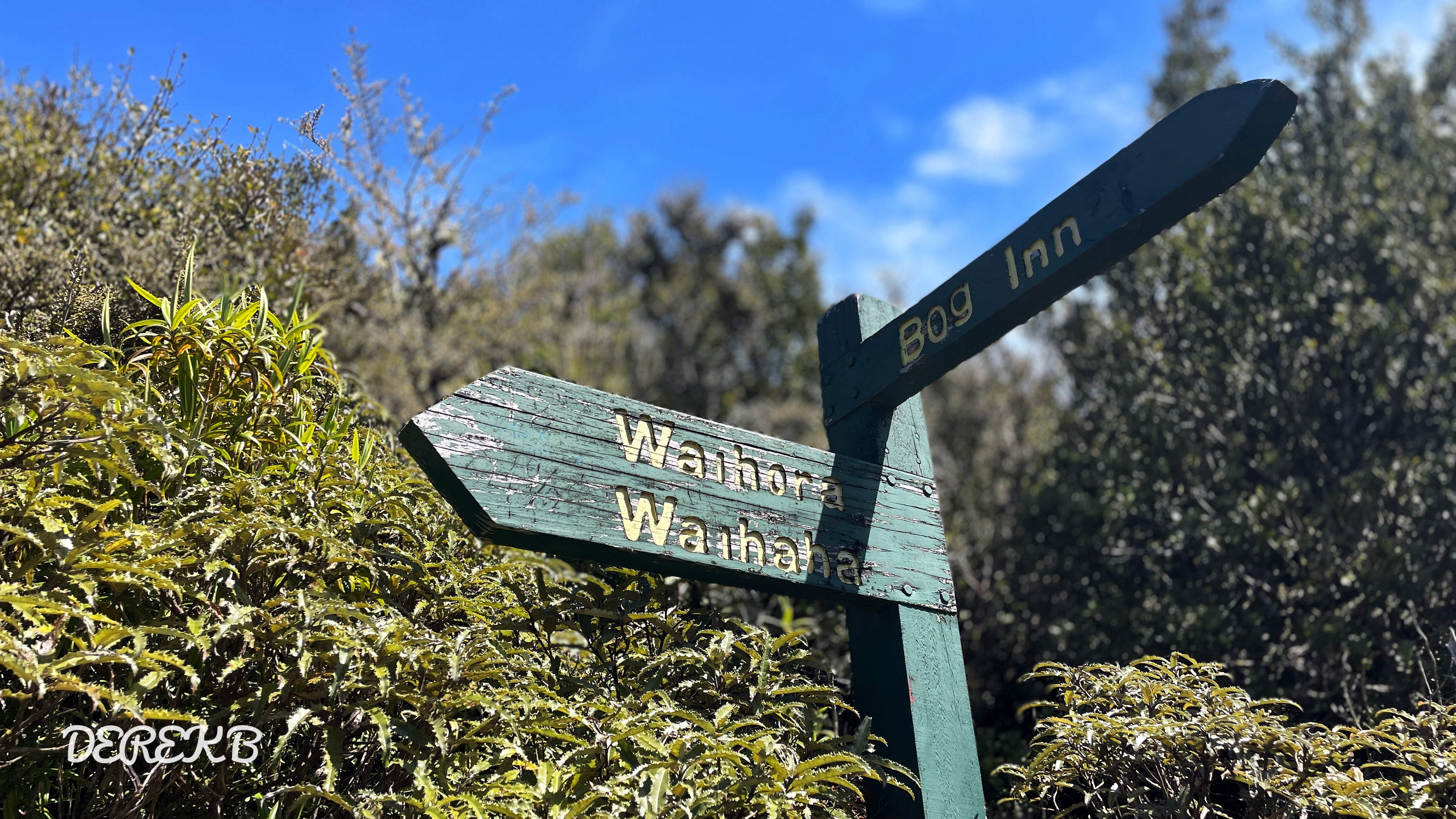
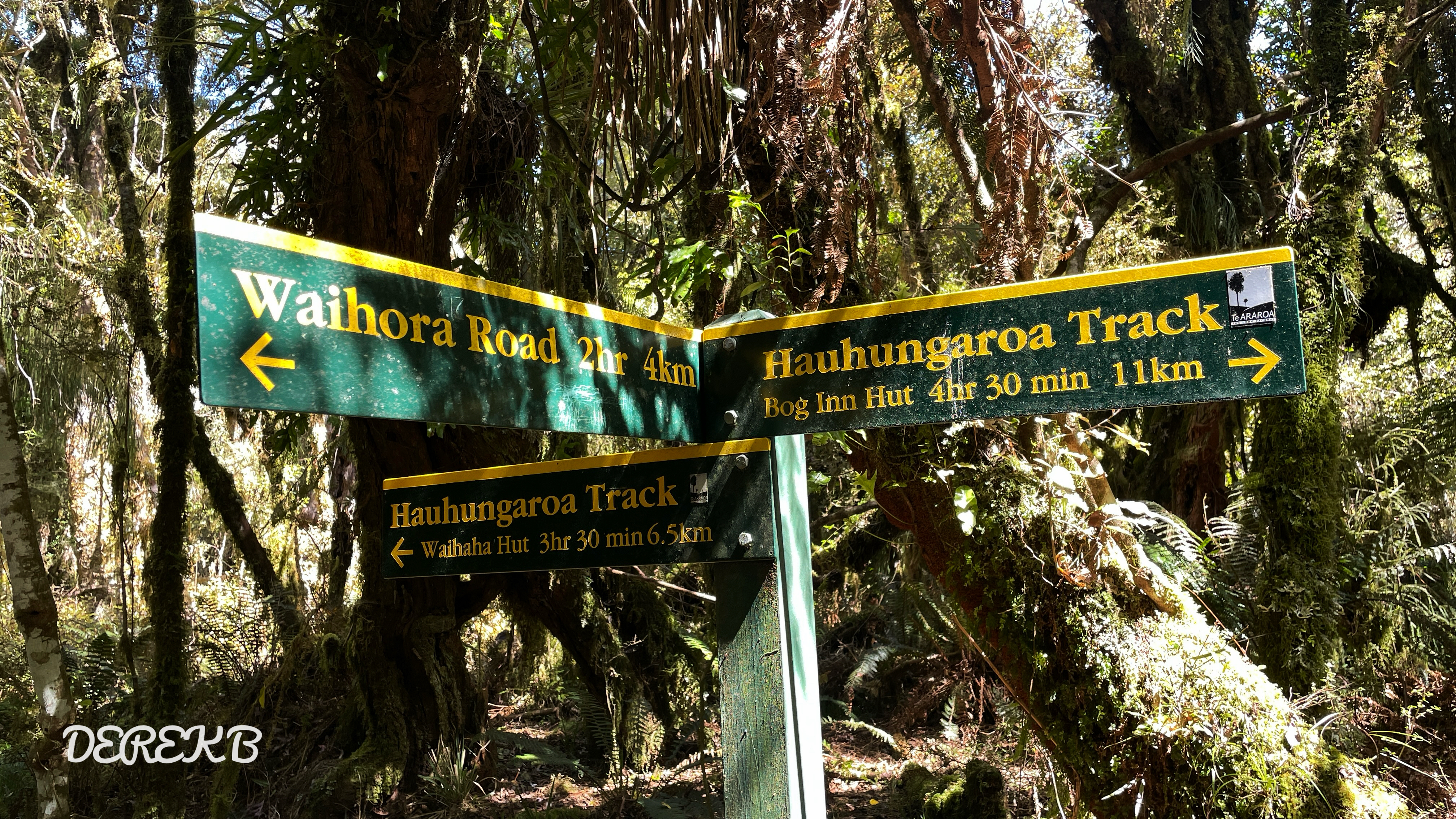
Trails: Waihora Track from the large Waihora Lagoon carpark, walk 4km then join Hauhungaroa Track. From here turn right continue about another 4km until Weraroa Trig. There is no trig frame and no panoramic views on the trig site, but only a sign post. Back to carpark then walked the short lagoon track.
Getting there: From SH32 turn onto Waihora Road. This 7km gravel road is in disrepair and recommended for 4WD vehicles.
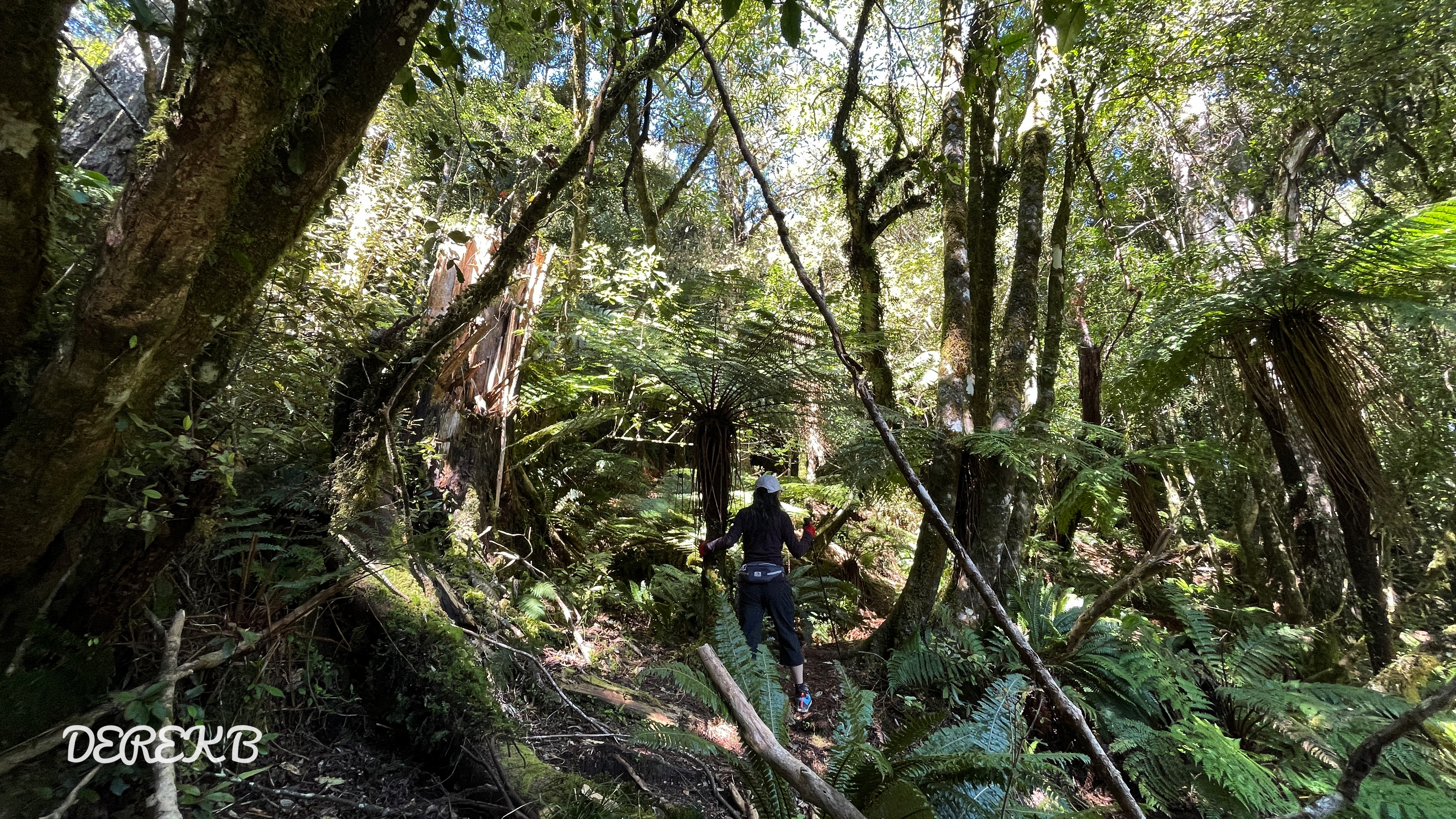
“Starting at the Waihora Lagoon carpark, you set out along the Waihora Track, weaving through a lush, remote corner of New Zealand’s North Island. The trail started relatively gently but soon as you journeyed deeper into the wilderness, the scenery transitioned to the more rugged terrain of the Hauhungaroa Range forest. As you moved onto the Hauhungaroa Track, the sense of isolation deepened; no distant views broke through the dense greenery, but the landscape felt rich and immersive, with native flora creating a natural corridor. Navigating occasional stream crossings added variety to the hike, with brief glimpses of the flowing water reminding you of the lush life supported by the range. Native flora lined your path, with bursts of green moss and ferns adding an almost enchanted feel to the forest floor. The climb was invigorating, especially as you approached the Weraroa Trig.
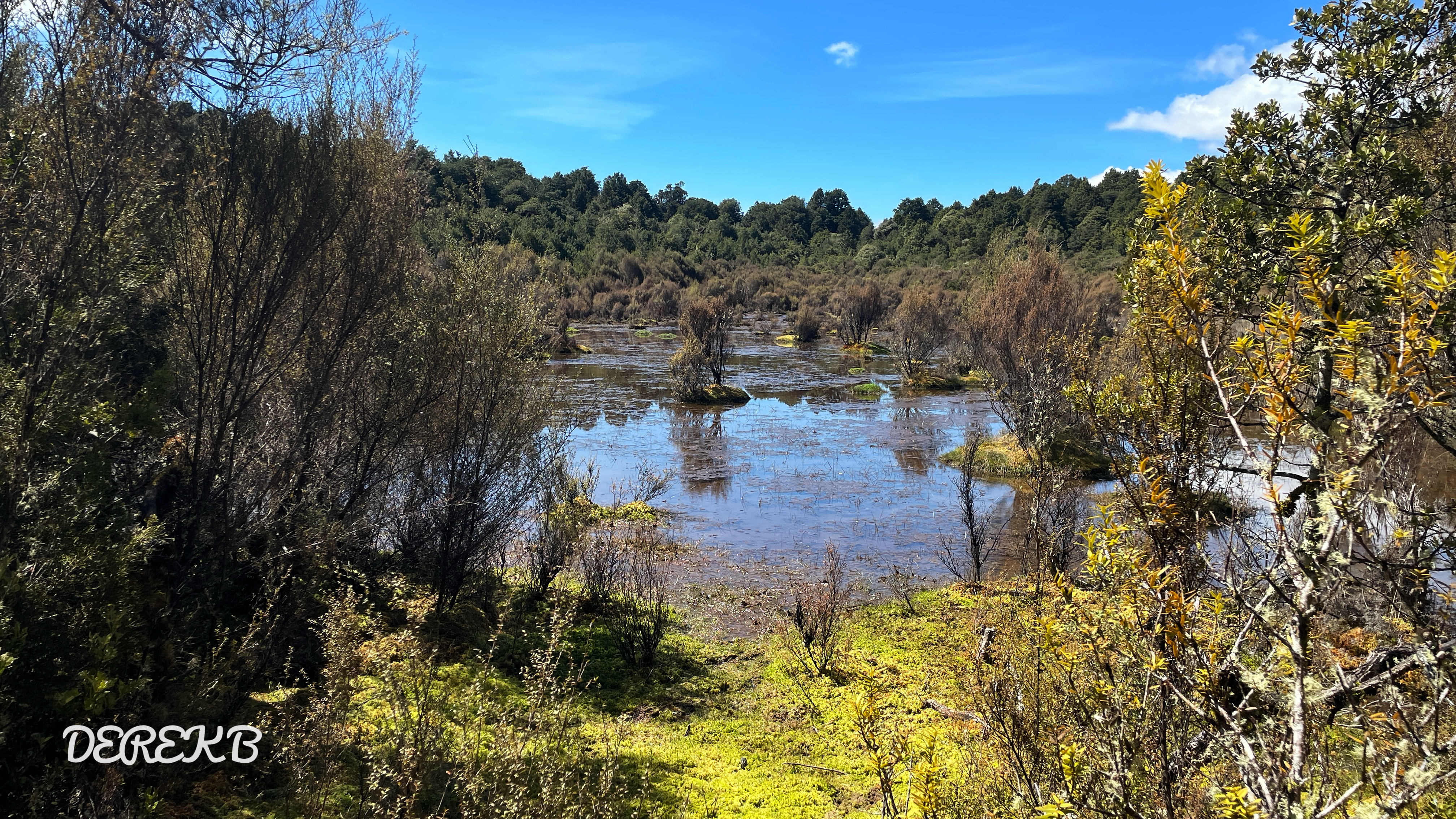
Finally, you reached Weraroa Trig, perched at 1088 meters, a summit encased in thick forest, offering no sweeping views but rather a sense of accomplishment within the heart of New Zealand’s wilderness. The descent back towards Waihora Lagoon mirrored the ascent’s challenge, with the trail winding through shaded groves and occasional clearings and a wetland that revealed more of the thick, mysterious bush. This hike, captured on video and mapped in detail, offers a raw experience of the Hauhungaroa Range—a true immersion in New Zealand’s native forests, far removed from civilization.”
Caution: Muddy in winter or after rainy day, find an alternative path when you pass the wetland! Easy get you lost as some huge trees fell down and damaged the track and marks. Always be patient to relocate the orange marks if you can’t see one in front of you!
Max elevation: 1101 m
Min elevation: 664 m
Total climbing: 1043 m
Total descent: -1025 m
Average speed: 4.73 km/h
Total time: 05:42:43


