Trails: Upper Mangatawhiri Campground car park – Upper Mangatawhiri Dam – Waterline Road – Ernies Track – Lilburne Road – Upper Mangatawhiri Dam – Upper Mangatawhiri Campground car park.
Note: Alternatively you can add another one hour plus to hike the Rata Ridge track.
Car Park: Yes. Set “-37.09076,175.15429″ on you GPS – Moumoukai Road – A R A Drive – Waterline Road – Upper Mangatawhiri Campground car park. It’s about 59km and 50 minutes drive from Auckland city center.
Public Toilet: Yes
Weather: Check Weather before you go!
For better map display, click the buttons (Full Screen, Hide/Show Photos and Back to Center) in the top right corner of the map to study the tracks we took or any other tracks.
Max elevation: 499 m
Min elevation: 131 m
Total climbing: 792 m
Total descent: -797 m
Average speed: 4.86 km/h
Total time: 04:06:17
Total flat distance: 14.8 km, Climbing distance: 5.4 km, Descent distance: 6.1 km, Flat distance: 3.5 km, Maximum difference: 599 m, Final balance: 0.0 m
Difficulty Rating: 2.65 – E+
The “Total Time” is my time in July which includes morning tea time and lunch time. That day was fine and the track was good. If you slow down to average 3.5km/h plus 60 mins stop then the total time will be around 5:15 hrs.
Photos on the map. Click opened photo to close.

Click photos below or go to Gallery to enjoy all photos and videos.
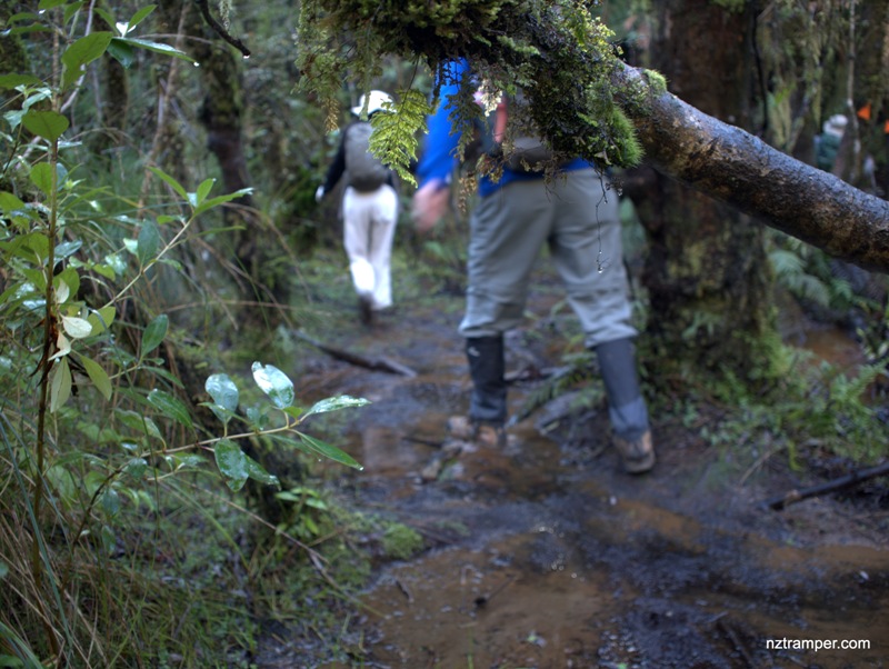
Ernies Track Loop in Hunua Ranges
Amazing!
Only took 4 hours 6 minutes including tea stop to complete this long walk was a real fast!
Must be half-run/half-walk?
No run, just fast walk. Had lunch at Piggotts Campsite. Thanks!