Trails: Hihi Route car park at Kauaeranga Valley Rd – Hihi Route or Hihi Track – Kauaeranga River crossing – Hihi Route – Junction of Hihi Route and the track to Kopu Hikuai Road via Kaitarakihi Summit – Motutapere 829m – Junction of Hihi Route and Paton Stream Dam Walk Track – Hihi Trig – Junction of Hihi Route and Billygoat Link Track – Billygoat Link Track – Billygoat Walk – Junction of Billygoat Walk and Tarawaere Track – Kauaeranga River crossing – Kauaeranga Valley Rd – end of road car park.
Note: Experienced trampers with good navigation skill only! Not recommended in bad weather and in short daytime winter. Hihi Route is steep, up and down and wild overgrown. Easy get lost between Motutapere and Hihi Trig.
Car Park: Yes, Hihi Route car park at Kauaeranga Valley Rd, 120 km, 1 hr 37 minutes drive from Auckland city. Further 7 km 12 minutes drive to Very end of Kauaeranga Valley Rd car park.
Public Toilet: Yes.
Weather: Check Weather before you go!
For better map display, click the buttons (Full Screen, Hide/Show Photos and Back to Center) in the top right corner of the map to study the tracks we took or any other tracks.
Max elevation: 830 m
Min elevation: 66 m
Total climbing: 1435 m
Total descent: -1351 m
Average speed: 3.29 km/h
Total time: 08:57:46
Total flat distance: 18 km, Climbing distance: 7.5 km, Descent distance: 7.3 km, Flat distance: 3.5 km, Maximum difference: 763 m, Final balance: 83.6 m
Difficulty Rating: 4.45 – H
The “Total Time” is my time in Jan which includes morning tea, lunch time, breaks and time looking for marks. That day was fine and the tracks were not too bad but some sections were steep, boggy and overgrown! If you slow down to average 2.5 km/h plus 90 min stop then the total time will be around 8 hrs 45 min. It may take longer if you get those markers lost.
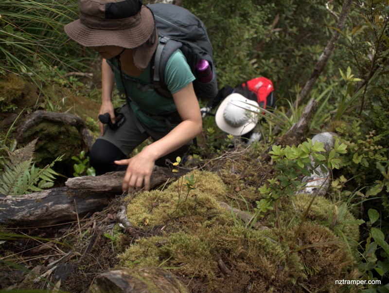
Photos on the map. Click opened photo to close.


Click photos below or go to Gallery to enjoy all photos and videos.
Hihi Route to Motutapere to Hihi Trig to Billygoat Track in Thames Coromandel
Great post with lots of useful information!
I did the same track from the DOC building (after asking about weather, track status…) and confirm it was hard!
It had been raining 2 days before I arrived and the track was really muddy and slippery.
Ankle deep mud for the foresty part (50-70% of the entire track).
Slippery roots and mud in the up and down sections.
And this slows you down like nothing else.
something to consider when you plan your hike!
(I continued the next day to the pinnacles and the walking track was pristine.)
I like Hihi route! Will walk it again! Great experience! Enjoy your walk!